/
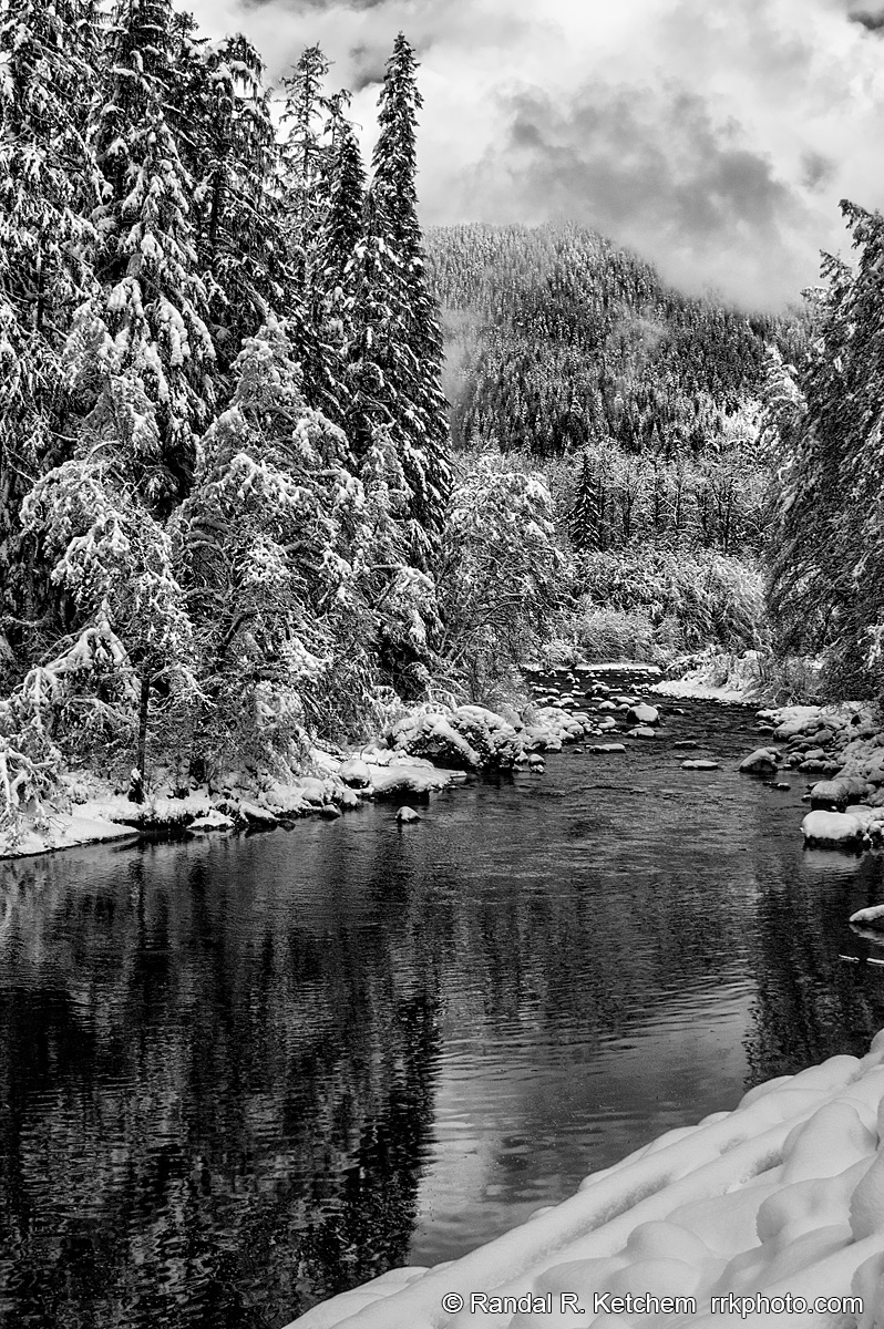
South Fork Stillaguamish River, Dark Clouds
South Fork Stillaguamish River along Washington's Mountain Loop Highway.
Technical & Exposure Details
ID: d20040102033_bwCamera & Lens
Camera: Nikon D100
Lens: 28.0-300.0 mm f/3.5-6.3
Tripod: Bogen 3221/3262QR
Capture Medium: Digital
Exposure Pyramid
Focal: 28 mmAperture: f16
Shutter: 1/60 ssISO: 200
Exposure Comp: 0 Ev
White Balance: 5700 +3
Dimensions & Date
Date: 2004-01-02
Resolution: 2000 × 3008 (6.0 MP)
Available for Order
Coordinates:48.07370, -121.71070
Open in Google Maps ↗Map data © OpenStreetMap © Esri