/
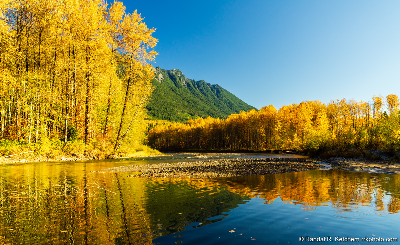
North Fork Stillaguamish River, Hazel Hole, Fall Color
Fall color lines the banks of the North Fork Stillaguamish River as seen from the shore at Hazel Hole along State Route 530 NE.
Technical & Exposure Details
ID: d20171028095512Camera & Lens
Camera: Sony ILCE-7R
Lens: FE 24-70mm F4 ZA OSS
Tripod: Manfrotto 190XPROB, Acratech V2
Capture Medium: Digital
Exposure Pyramid
Focal: 25 mmAperture: f11
Shutter: 1/60 ssISO: 100
Exposure Comp: 0 Ev
White Balance: 6300 +4
Dimensions & Date
Date: 2017-10-28
Resolution: 6859 × 4207 (28.9 MP)
Available for Order
Coordinates:48.27769, -121.80965
Open in Google Maps ↗Map data © OpenStreetMap © Esri