/
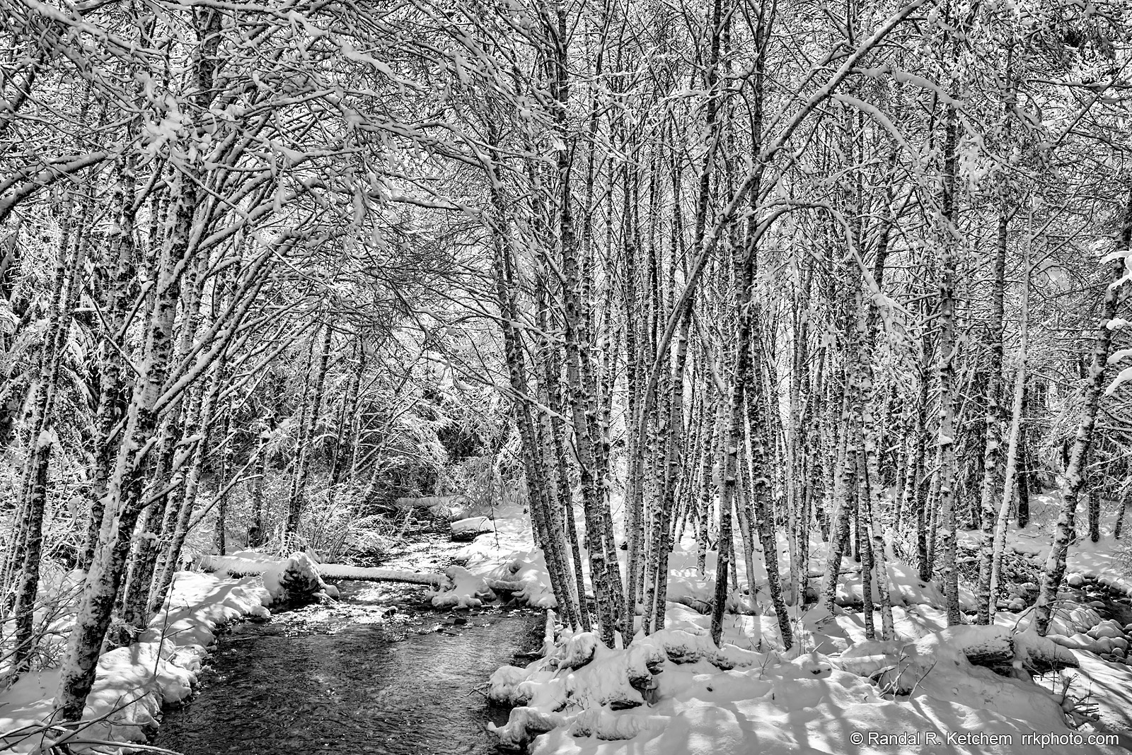
Coal Creek, Snowy Trees, Winter
Coal Creek runs into the South Fork Stillaguamish River along the Mountain Loop Highway near the road closure gate at Deer Creek Road.
Technical & Exposure Details
ID: d20180219134155_bwCamera & Lens
Camera: Sony ILCE-7R
Lens: FE 24-70mm F4 ZA OSS
Tripod: None
Capture Medium: Digital
Exposure Pyramid
Focal: 34 mmAperture: f11
Shutter: 1/30 ssISO: 100
Exposure Comp: 0 Ev
White Balance: 5900 +9
Dimensions & Date
Date: 2018-02-19
Resolution: 7360 × 4912 (36.2 MP)
Available for Order
Coordinates:48.08601, -121.54020
Open in Google Maps ↗Map data © OpenStreetMap © Esri